Investigation of the Subsoil
A Geotechnical Innovation
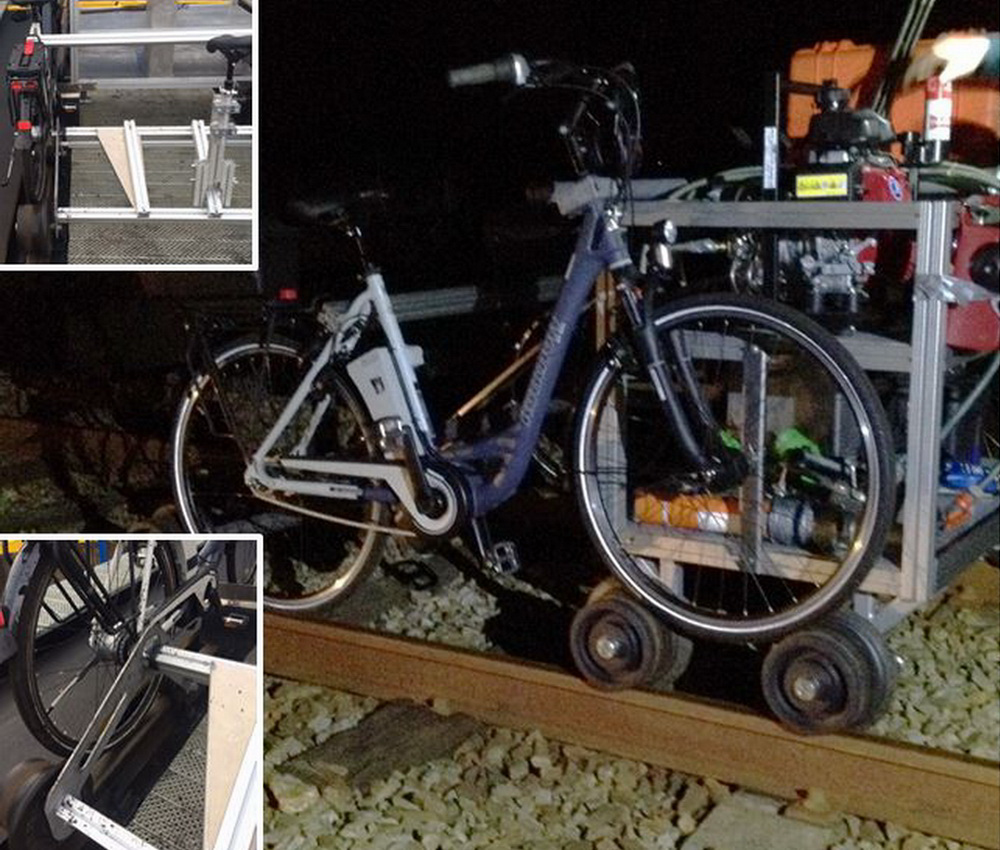
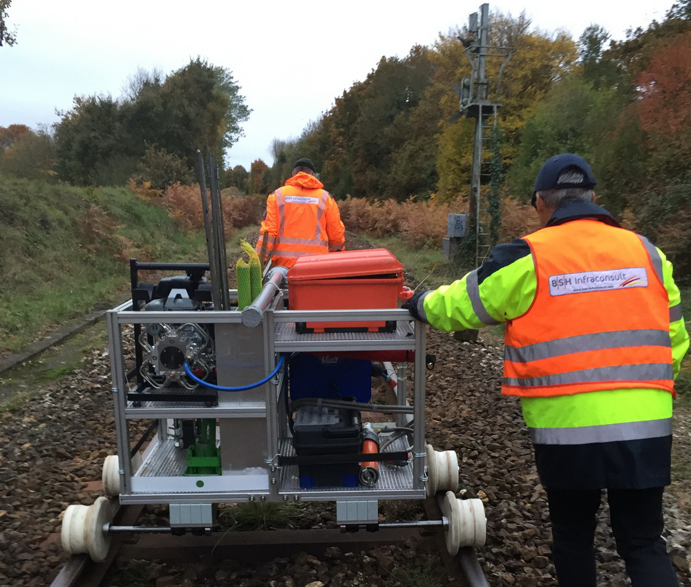
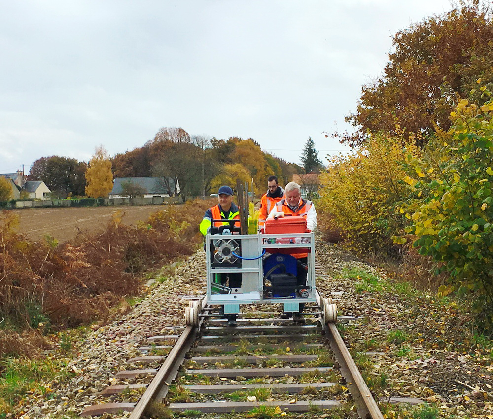
A lightweight ramming probe with variable energy input combined with a geo-endoscope, placed on an easy-to-handle trolley, collectively produces the BSGeoscopie, which is one of our developments. It can be used quickly and inexpensively and for a wide range of gauges, as it can work under an active overhead line. Just awesome.
Deep Insights

- Ballast layer
- Protective layer
- Subsoil
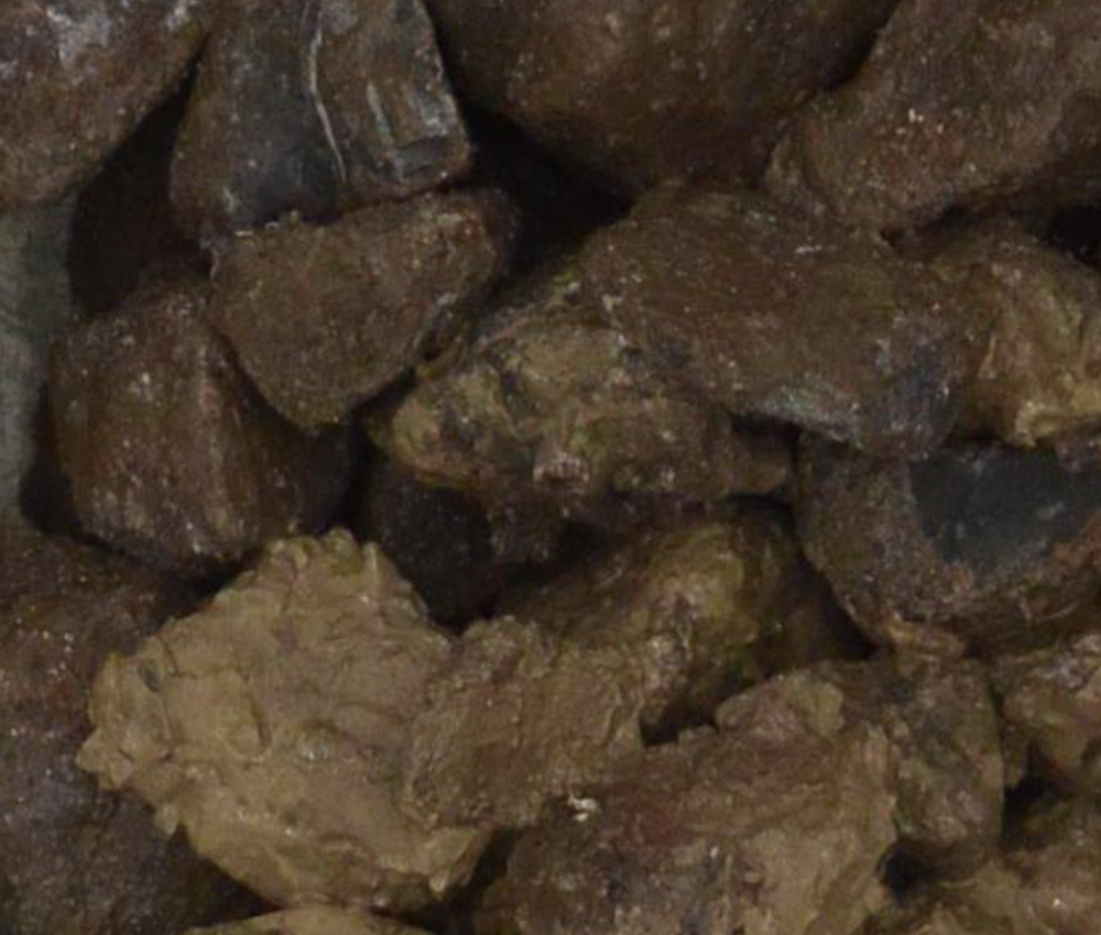
Endoscopic examination over the entire load transfer area up to approx. 1.50 m below top of rail.
More than 85% of the defects in track geometry have their origins in defects of the substructure.
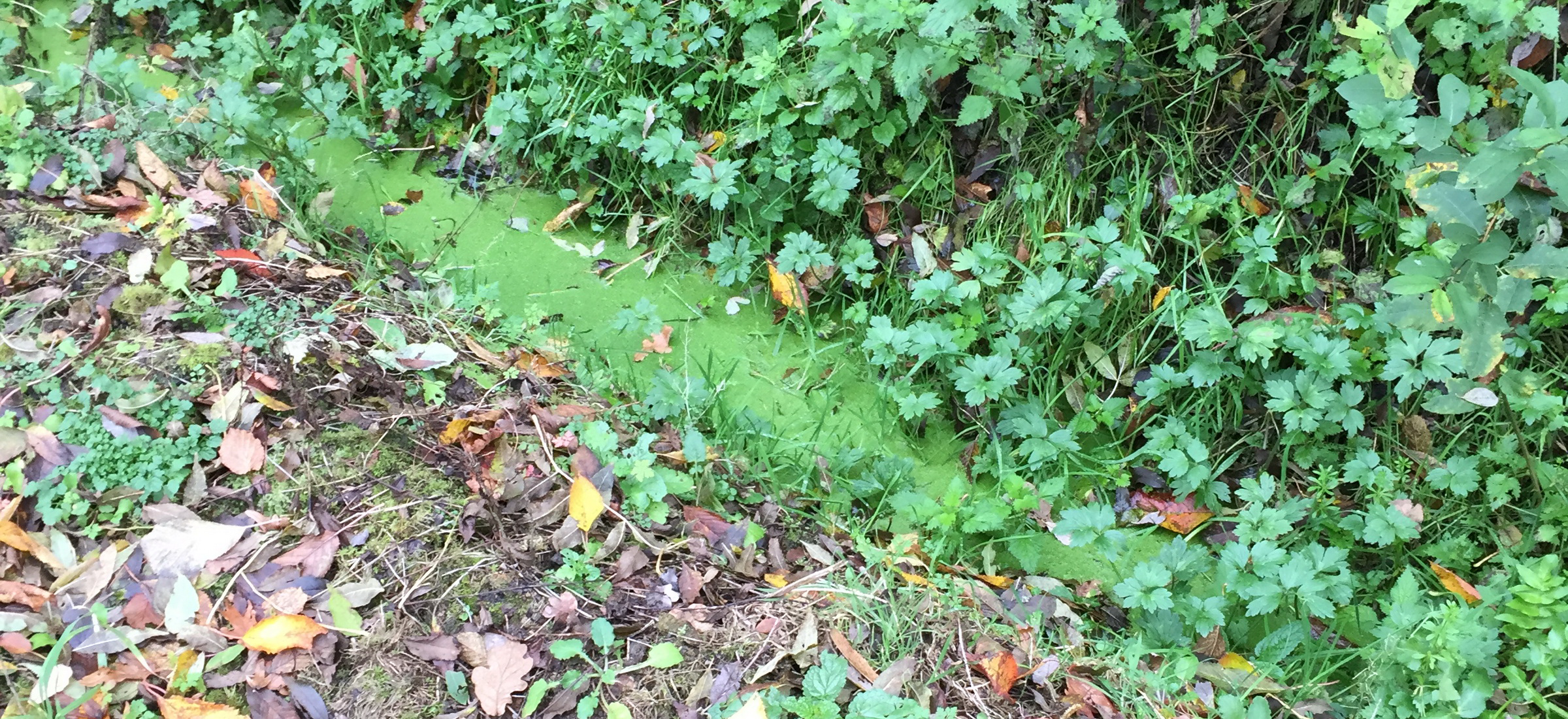
Reasons for defects include wrong material, bad quality or insufficient drainage systems.
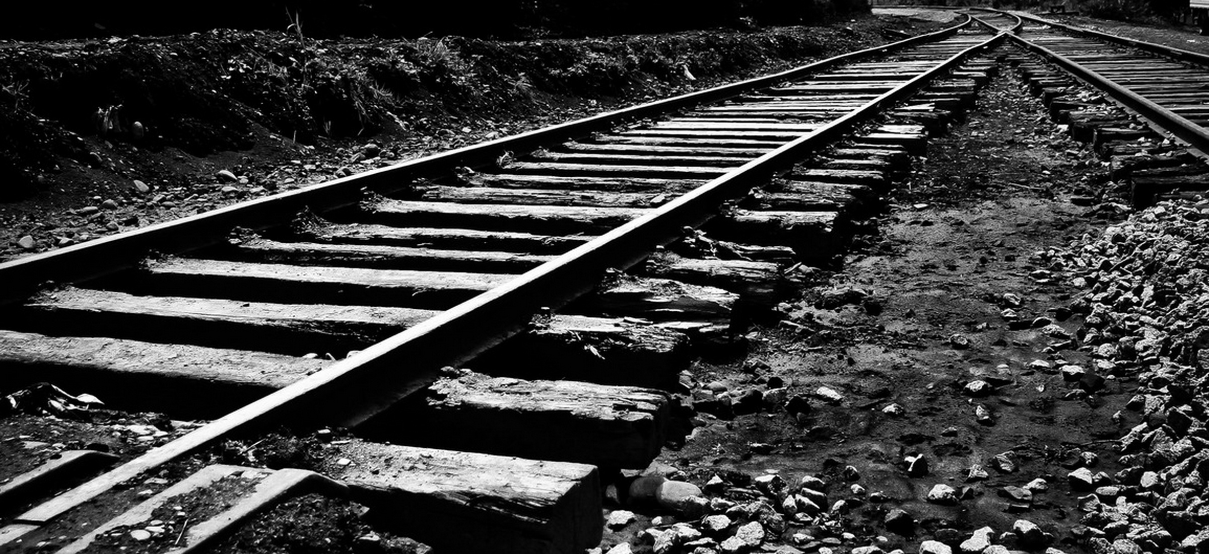
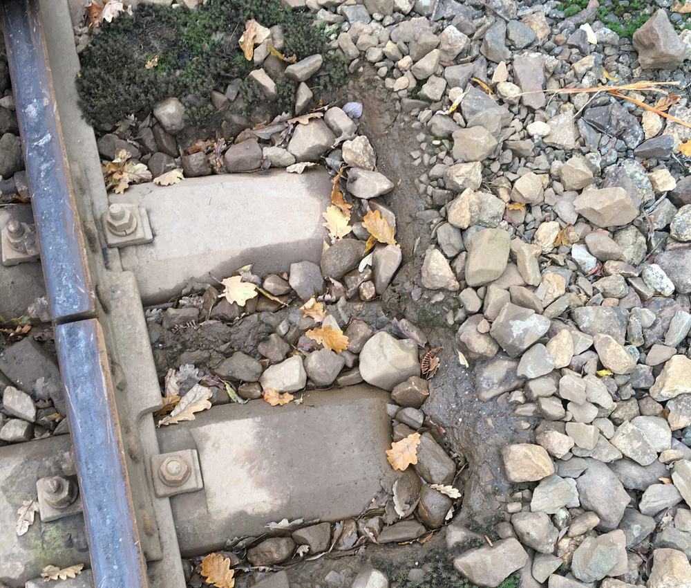
Evident defects to influence track geometry.
Short Set-Up-Times
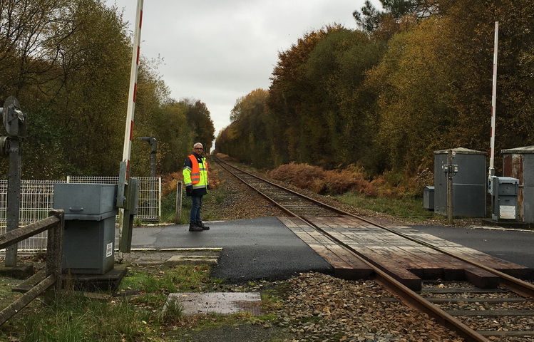
The time for preparation is about 30 mins, rerail of the BST is about 2 mins and a change of direction on level creossings would need around 2-3 mins.
Rapid Transport
The BST allows transportion of measurement equpiment fast and highly efficient on cloded tracks without triggering switsching devices.
Switching Devices
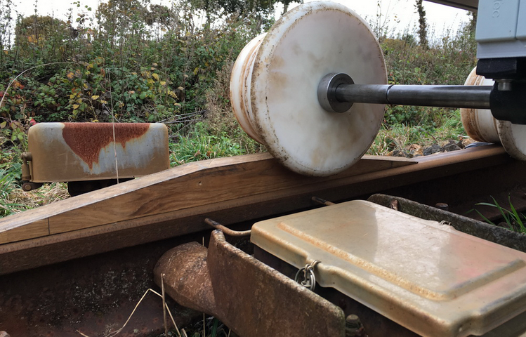
The general construction of the BST together with some specal tools allows to cross switching devices without triggering the devices.
Process Description
To open the process description, please click here:
Suck it and see!
You will love it.
As paper doesn´t blush, allow us to have a try. We would love to show you the our system on your tracks. Contact us!
Post Processing and Data Analysis:
In the first step, the export file from data acquisition of the CPT shall be stored together with the images from the endoscopy in the same folder.
Then, our BSG tool “BSG-CPT” generates editable files for post processing for each CPT point.
Another features of this tool is about the subsequent customization of standard fields, the change of the output language, as well as various printing options.
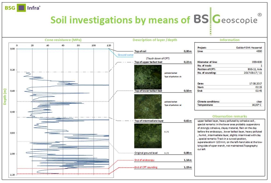
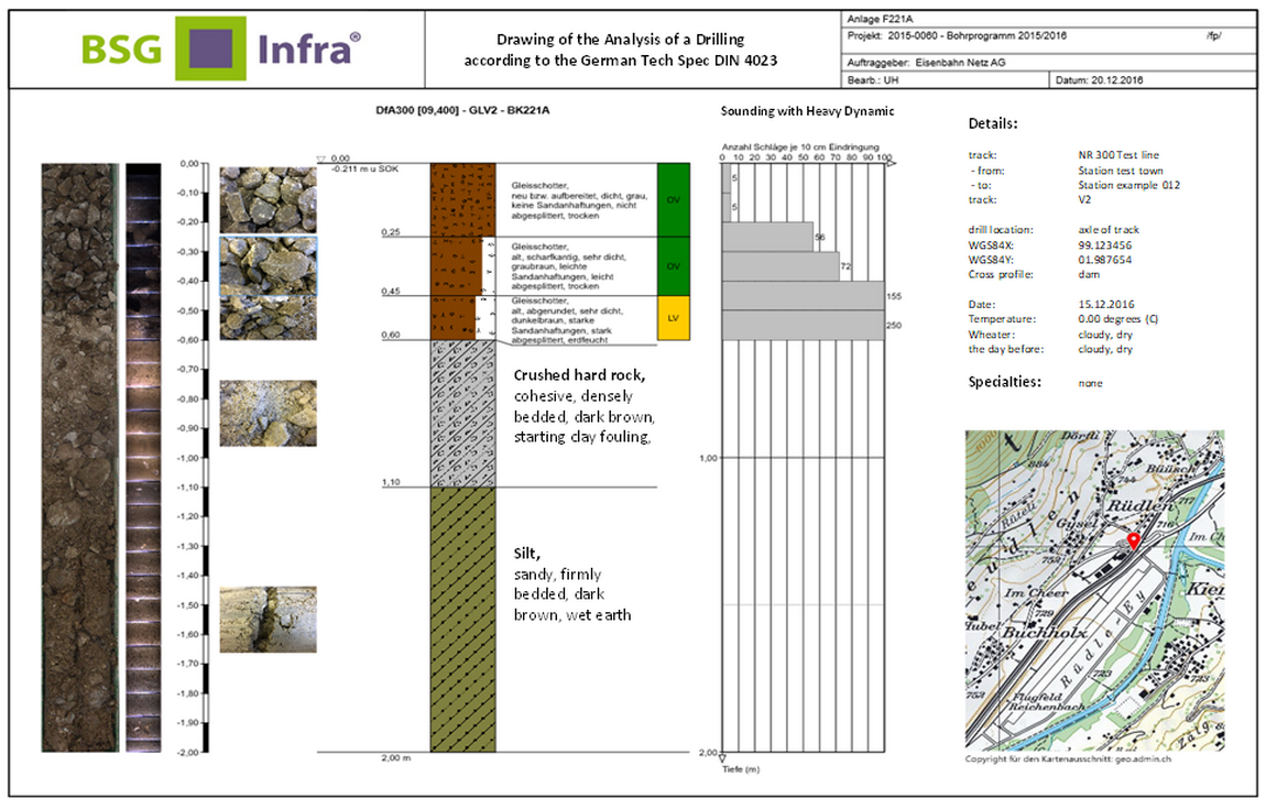
The evaluation of such a post processing and data analysis by means of BSGeoscopie is shown above. A summary table for all the drillings can be generated too.
We recommend, to evaluate the BSGeoscopie results together with other condition data, such as georadar. Finally, this should lead to:

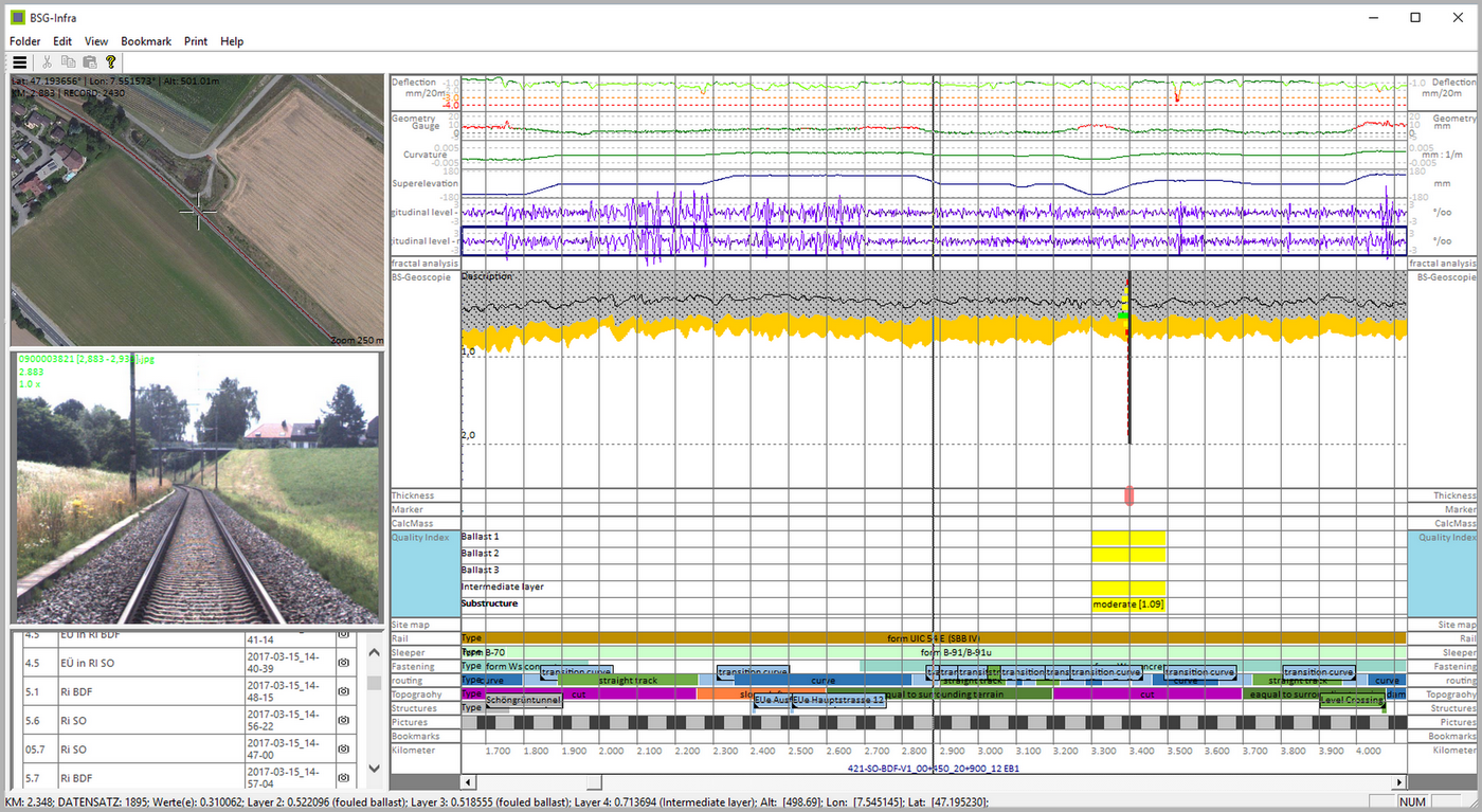
Power for Expert´s.
Say “Hi” to BSG-INFRA.
The Condition Data Analysis Innovation
BSG Infra bases on a modular principle, which allows the users to choose what works best for them. We help to build up the necessary structures, technically or organizationally, and connect our customer expectations with the experience of our experts. Globally!

Would you like to record data from core drillings for a graphical evaluation and would you like to use it in BSG-Infra? No problem:

This is a fascinating solution:
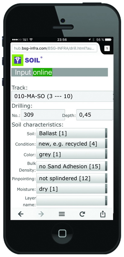
With our app SOIL you can analyze drill cores quick and efficiently, layer by layer in the lab or on site and you can share the results immediately online.

Ready to be used on your Mobile
To be defined in advance:
- Project details and definiton of the input fields
or instead use of existing templates - Acquisition layer by layer in the lab or on site
and including images of the layer - Data transfer of all layer data to the host
That´s it.
In the background all data of a drilling will be put together automatically. This includes
- an editable file and images of all layers or
- a ProfilTec-file together with the already integrated images of each layer or
- a PDF-file of each drilling.
This output can then be transfered to a predefined recipient group by e-mail. Changes and adaptions of the source is possible at any time.
The following pictures shows, how this can look like:
Get in Touch
Are you interested? Please contact us by e-mail.


